
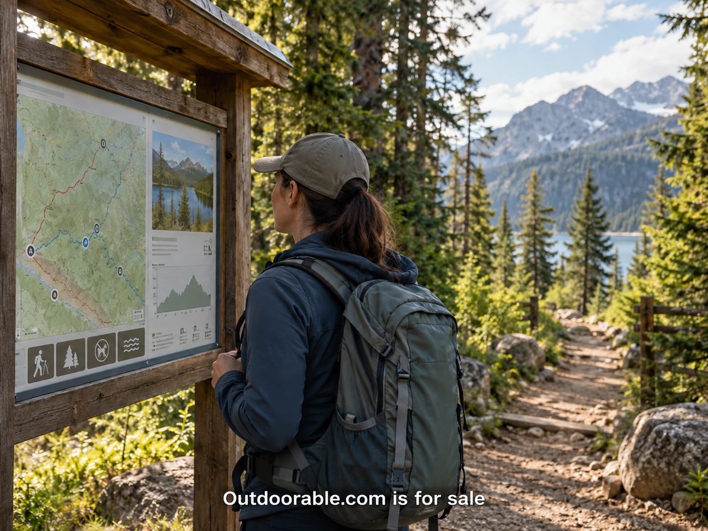
A short trail can still present a difficult planning decision. A summary may call it easy without explaining the surface, the approach from parking or the steepest section. Another page may show a beautiful view while leaving the reader unsure how far that view is from the trailhead. For a publisher, the useful question is not how to make every route sound inviting. It is how to give people enough clear information to assess an option for themselves.
This article proposes an editorial approach for organizing trail information. It is not a route recommendation or a substitute for current land-manager guidance. Conditions, facilities and access can change. A publisher should make the source and limits of each record visible, especially when readers may otherwise assume that a confident description reflects a recent assessment.
Replace a broad adjective with specific fields
Words such as easy, moderate and accessible can mean different things to different readers. They may still have a role when their definitions are explained, but they should not carry the whole description. Distance, surface, elevation information, width, obstacles and facilities give a reader more to work with. Each field needs a source and a clear explanation of what it measures.
The NPS physical mobility information describes trail characteristics that may be available from parks, including surface, width, slope and length. A publisher can use those categories as questions to investigate rather than assume every destination has measured them. Missing information should remain missing until it can be supported.
Define the units and the scope. A distance might be one way, round trip or a loop. An elevation figure might describe total ascent or the difference between two points. Those are not interchangeable. If the source uses an ambiguous term, ask for clarification or preserve the ambiguity visibly instead of converting it into a cleaner-looking but unsupported number.
Describe the whole arrival sequence
A trail profile often begins too late. The reader may first need to find the correct entrance, understand parking arrangements or travel from a bus stop to the route. A clear arrival section can explain those connections with official links and dated observations. Separate what is known about the approach from what is known about the trail itself.
Facilities deserve the same care. “Toilets available” leaves questions about location, opening arrangements and whether they are near the start or elsewhere in a large park. A publisher does not need to answer every possible question on the main card. It does need to avoid implying that a vague label resolves the details. Link to a fuller record or the relevant official contact when necessary.
Photographs can help when they show the places where decisions occur. An entrance junction, a surface transition or the approach to a facility may be more informative than a second scenic panorama. Record the date and explain the viewpoint. A photograph captures one moment, and a publisher should not treat it as proof that a route remains unchanged.
Preserve the difference between typical and maximum
A route can have a mostly gentle surface and one section that changes the experience substantially. Averages can hide that detail. Where a reliable source provides both typical and maximum characteristics, retain the distinction and explain it. Do not reduce several measurements to one friendly label merely because a card has limited space.
The Arches National Park mobility page shows how detailed trail descriptions can present surfaces, obstacles and different measurements together. It also warns that conditions may have changed since assessment. The lesson for publishers is the information structure and its caution, rather than a set of numbers to copy into unrelated destinations.
A concise card can show the most important facts and lead to the detail. For example, it might identify the distance convention, the main surface and whether the record has unresolved fields. The full profile can explain the source, sections of the route and the limits of the assessment. Progressive detail works when the summary stays accurate rather than smoothing away the complications.
Give uncertainty a proper place
An unknown value is useful information when it is stated plainly. It tells the reader what may need to be confirmed before making a decision. A blank field can look like an oversight, while a guessed value can create false confidence. Use a consistent label such as “Not confirmed” and explain how the reader can seek more current detail.
Keep different kinds of evidence separate. An official closure notice has a different role from a visitor's description of mud after rain. A measured assessment is different from an editor's impression during a casual visit. Each can contribute to a record if its source, date and limitations are clear. Combining them into a single undated paragraph makes the information harder to judge.
For changing conditions, the relevant land manager remains an important source. A publisher can provide a prominent current-conditions link and explain when its own record was checked. It should avoid a design that makes a months-old profile appear more current than the official alert beside it. A date is meaningful only when readers know what was reviewed on that date.
Create an update path before adding more routes
Every published profile needs an owner, even on a small site. Record the source URLs, review date, unresolved questions and next planned check. Decide what happens when an essential source disappears or a reader reports a major change. The process can be simple, but it must be repeatable enough that maintenance does not depend on memory.
A correction form should ask for the location, observed change, date and supporting detail. It should also explain that reports are reviewed before publication. Avoid collecting unnecessary personal information, and obtain permission before publishing a reader's name or photograph. A report can trigger investigation without becoming a confirmed fact immediately.
Prioritize updates according to their effect on the planning decision. A changed entrance or closure may require immediate action, while a minor wording improvement can wait. When the team cannot verify a core detail, pausing or clearly qualifying the profile may be more responsible than leaving it unchanged. The editorial record should explain what happened so the next reviewer can follow the decision.
Test the page with the people who use it
Ask participants to compare two profiles for a real planning task. Watch which fields they seek first, which terms they misunderstand and what they still need to confirm elsewhere. Include people with different information needs, and compensate their time. The purpose is to improve the usefulness of the record, not to collect praise for the layout.
A well-organized page can offer a short overview, detailed characteristics, source notes and a clear update route without becoming an unreadable wall of data. The headings should match the reader's questions. Tables need understandable labels and a usable mobile presentation. Information hidden behind an unlabeled icon may be technically present while remaining practically unavailable.
Good trail publishing helps people see what is known, what has changed and what remains uncertain. It does not require every destination to fit a simple rating. For a future Outdoorable.com business, that precision could become a reason readers return. The name can make the resource recognizable; the maintained detail is what would make it useful.